

Using LIDAR data to help accelerate the move to carbon-neutral farming
Envirotec Magazine
OCTOBER 5, 2021
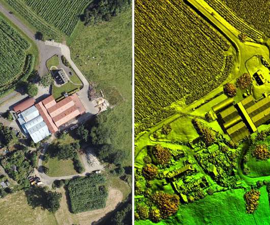
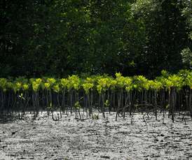
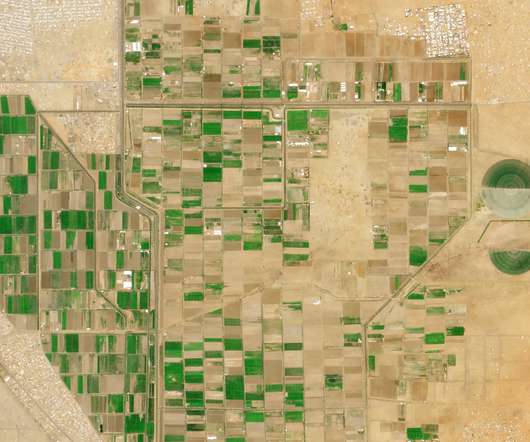
The LIDAR data is being used to calculate above-ground carbon storage. The ARCZero (Accelerating Ruminant Carbon Zero) project has commissioned aerial mapping specialist Bluesky to record LiDAR measurements for seven commercial farms across Northern Ireland.


Let's personalize your content