


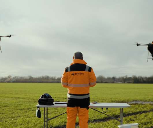
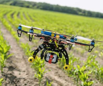
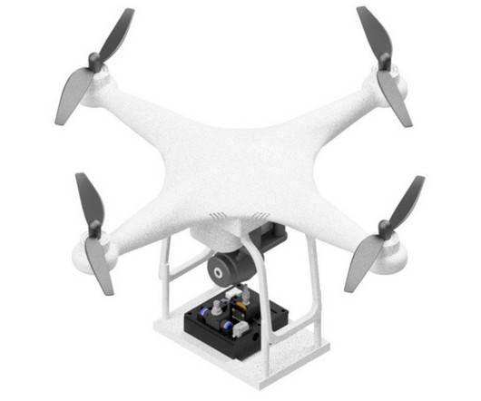
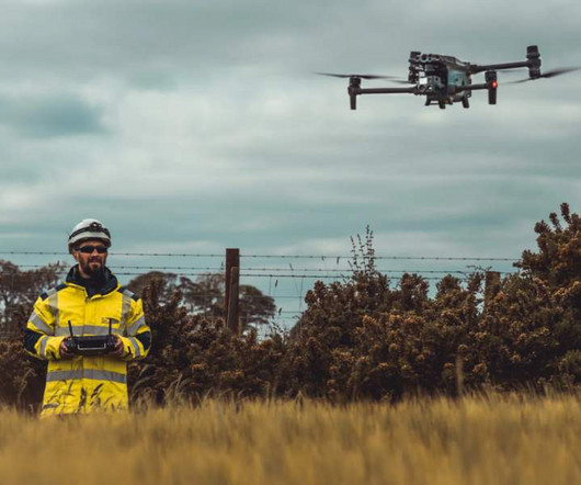
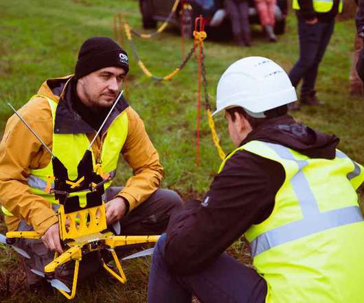
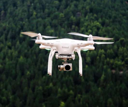
Let me drone on a moment about drones for agriculture or forestry
GreenBiz
FEBRUARY 25, 2021
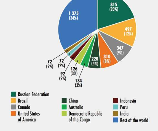
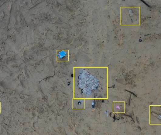
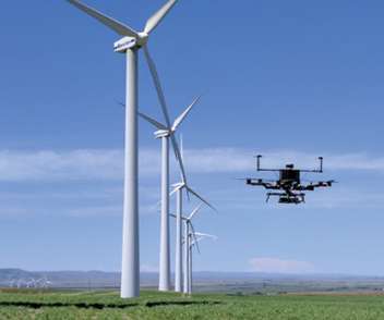
Let me drone on a moment about drones for agriculture or forestry. That brings its total backing (so far) to $142 million, more than any other drone data and software company. Heather Clancy. Thu, 02/25/2021 - 00:05. billion by 2026 , a compound annual growth rate of close to 30 percent over the next five years.


Let's personalize your content