Sensing Diseases From Space
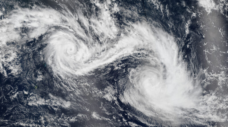
Disease itself may be invisible to the human eye, but conditions ripe for disease outbreaks can be seen from satellites. ORNL’s Assaf Anyamba has spent his career using satellite images to determine where extreme weather may lead to vector-borne disease outbreaks. His work has helped the U.S. government better prepare for outbreaks that happen during periods of extended weather events such as El Niño and La Niña, climate patterns in the Pacific Ocean that can affect weather worldwide.

Anyamba joined the Department of Energy’s Oak Ridge National Laboratory in 2022. He is a distinguished R&D staff member and group lead for the lab’s Remote Sensing, Geographic Data Science section. At ORNL, he has continued to develop systems to understand the relationship between weather patterns, disease and human security. He seeks to detect the threshold where changing climates trigger outbreaks of diseases that could spread quickly. When authorities in a region have more time to undertake preventative measures, they have a greater likelihood of saving lives and lessening the economic impact.
“We’re trying to define climate signatures for outbreak events, something that is new in this area of investigation,” Anyamba said.
Climate extremes have a significant impact on communities and governments all over the world. As water becomes scarce in one region, wet conditions increase in another area. For example, El Niño years cause South Africa to become very dry while East Africa sees an increase in rainfall. Dry conditions cause disease-spreading bugs and rodents, such as mosquitos and rats, to move to wet areas. Bringing diseases with them, they settle in urban areas near houses and businesses close to large populations.
In graduate school, Anyamba became fixated on the impact of El Niño weather patterns. Rather than focusing on the weather itself, he saw how this recurring weather event impacted South African communities during the 1992 extreme drought. He focused his graduate work on building the then-new technology of geographic information systems, now known as GIS, to give researchers tools to understand the region with better data.
Through a graduate fellowship opportunity at NASA, Anyamba researched global change. “Using satellite imaging, we could see signs of El Niño causing changes in vegetation,” Anyamba said. “Before this time, sea surface temperatures or rainfall patterns were indications of El Niño events, but data was not available everywhere, especially in the southern hemisphere.” His research established vegetation as a proxy for signaling the shift to El Niño, giving researchers an immediate indication of shifting patterns.
Following that fellowship, Anyamba worked with the USDA Foreign Agricultural Service to provide assessments of the global agricultural production outlook affecting global food security. Changing climate conditions impact the global supply of agricultural commodities such as corn, soybean and wheat. As droughts impact large agriculture-producing countries and supplies shift in international markets, U.S. farmers can adjust to meet the local demand gap from the world market. This helps the U.S. remain competitive globally regardless of the weather and helps regulate swings in prices for American and global consumers.
Later, Anyamba used satellite imaging to assist the U.S. military in determining what kinds of health protection measures could benefit deployed military personnel and their families and other global populations in regions prone to outbreaks. The military used the data to prepare regional authorities with the right type of expertise, equipment and medication before an emergency occurred.
Bringing his expertise in geography, disease monitoring and prediction to support ORNL’s national security mission was an important driver for Anyamba to move his family to East Tennessee. He is now setting his sights on better understanding global water security. “Where and why water availability is changing and how it will impact where humans and animals migrate to has an impact on population changes all over the world,” he said. “We can use science and technology to prepare for taking care of communities instead of waiting for a crisis to happen.”
UT-Battelle manages ORNL for the Department of Energy’s Office of Science, the single largest supporter of basic research in the physical sciences in the United States. The Office of Science is working to address some of the most pressing challenges of our time. For more information, please visit energy.gov/science.
Courtesy of ORNL, U.S. Dept. of Energy. By Liz Neunsinger.
Have a tip for CleanTechnica? Want to advertise? Want to suggest a guest for our CleanTech Talk podcast? Contact us here.
Latest CleanTechnica.TV Video

CleanTechnica uses affiliate links. See our policy here.