On October 4, EOS Data Analytics, a global provider of AI-powered satellite imagery analytics, and Greenpeace Global Mapping Hub organized a webinar on applications of satellite remote sensing and imagery analytics in farming, environmental monitoring, and social and environmental initiatives.
Since the discussed use cases are centered around the optimized use of resources, resource availability for meeting daily needs, and ecological integrity, the presenters reviewed them within the sustainability context.
The presentation began with quick facts about EOSDA, its commitment to sustainability, the Academic Outreach Program, products and services, and recent social and environmental projects.
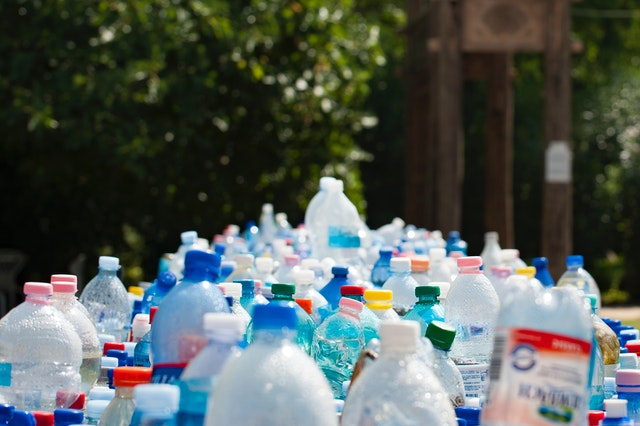
“The interest in precision farming among the industry players is driven by their intention to withstand competition amid increasing risks of crop failure caused by climate change-related weather extremes and ever-growing food demand. Since precision farming also focuses on improving resource use and minimizing the harmful impact of agriculture on the environment, we see how the industry is transforming via the adoption of related technologies,” notes Rim Elijah, VP of Sales at EOSDA.
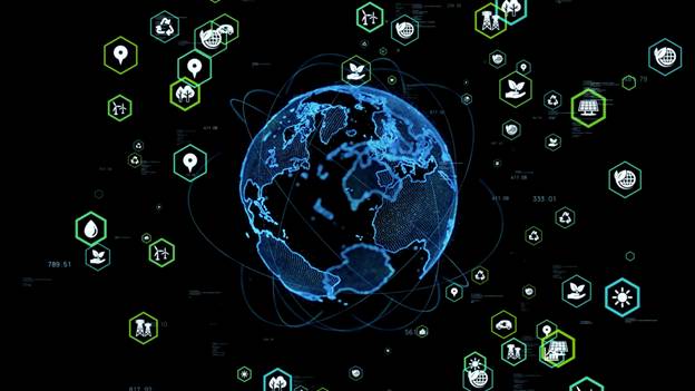
EOS Data Analytics aligns with nine out of 17 of the United Nations’ Sustainable Development Goals, such as life on land, responsible production and consumption, or ending hunger when it comes to product development strategy, implementing non-commercial projects, or participating in them.
“One social project we participated in was the participatory mapping project in Chad. Its goal was to spark collaboration among indigenous communities suffering the consequences of climate change — shrinking water and land — and fighting for access to them. Our GIS specialists made a satellite-image-based map of areas with disputed resources, and the community members annotated it with natural and artificial objects crucial for everyday life. The map supplemented the agreement on who, when, and how can use land and water resources. Leaders of 116 communities from 23 villages joined the project,” said Vera Petryk, Chief Marketing Officer at EOSDA.
Vera Petryk also introduced the EOSDA Academic Outreach Program, which aims at strengthening environment-related research by providing free or discounted access to EOSDA LandViewer and EOSDA Crop Monitoring platforms to scientists, students, and researchers.
Campaign Researcher for Greenpeace Sergio Domingo talked about how their team uses EOSDA LandViewer to monitor deforestation in several of Argentina’s provinces (Santiago del Estero, Salta, Chaco, and Formosa) and report on findings.
“A National Forest Law prohibits lumbering in these areas adopted at the end of 2007. Despite legal protection, these lands account for nearly 80% of total deforestation in the country. Our task is to monitor monthly changes in land use, go to places to expose violations, document them in reports and maps, and share the information with the public via press and social media. Thanks to EOSDA LandViewer, we can respond very rapidly to spotted violations,” says Sergio Domingo.
Brijesh Thoppil, EOSDA’s Strategic Partnerships Lead, introduced EOS SAT — the world’s first agri-focused satellite constellation among companies utilizing remote sensing technologies. By providing high-quality satellite data, it will help clients optimize agricultural production: adopt variable rate application of inputs to preserve soil health and improve yields, cut energy, water, or fuel use, and many more.