


Raptor Maps uses artificial intelligence and thermal imaging to maintain two percent of solar panels worldwide—but its path there was far from linear.
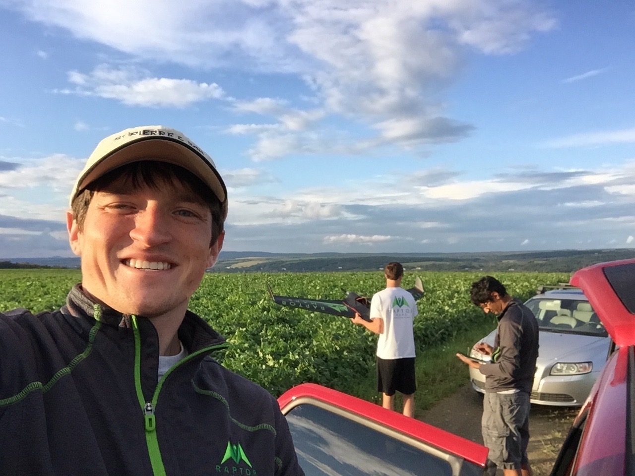
The team originally wanted to reduce the use of pesticides and fertilizers in agriculture by taking aerial thermal images. When they made their software available online, they noticed something surprising: solar farm operators were flocking to drone-based thermal imaging.
Solar entrepreneurs and experts at Greentown Labs helped co-founders Nikhil Vadhavkar and Eddie Obropta understand why their software was unexpectedly useful and ultimately pivot their business, explains Obropta, the company’s CTO.
As the industry booms and solar farms pop up all around the world, the capacity to maintain and operate those fields has lagged. When a field isn’t producing its maximum energy output, it can be challenging to determine what—and where—the problem is.
“You can see issues and anomalies in solar farms just in the thermal imagery,” Obropta says. “You are able to see electrical issues that you can’t see with the naked eye. That’s awesome for the solar industry.”
Raptor Maps’s drone-based thermal imaging can pinpoint electrical issues and outages, damaged modules, and obstructed modules (think dust, bird droppings, or overgrown trees) down to the exact solar module. Obropta calls this precision “unprecedented.”
Raptor Maps is operational in 25 countries, and has digitized 12 gigawatts of solar—equivalent to 60,000 acres—since its founding in 2015. The company monitors about 40 million panels.
Raptor Maps has teamed up with Enel Green Power, one of Greentown’s corporate partners, to manage real-time operations across the corporate’s global solar portfolio.
In addition to solar farm operation and management, Raptor Maps now helps with the setup and construction of the farms, and aims to grow that side of the business. This includes terrain information, equipment tracking, site design, work order management, and more. Ultimately, Raptor Maps intends to be a locus for all solar farm information.
“We are looking to basically expand out that construction product. We want almost every new solar site being built to to be able to benefit from using Raptor Maps software during construction,” Obropta says.
Greentown Labs is a community of bold, passionate entrepreneurs creating solutions for today’s biggest climate and environmental challenges. Located in Somerville, Mass., the Greentown Labs Global Center for Cleantech Innovation is the largest cleantech incubator in North America, operating a 100,000 sq. ft. campus comprised of prototyping and wet lab space, shared office space, a machine shop, electronics lab, and a curated suite of programs and resources. Greentown Labs is home to more than 100 startups and has supported more than 230 since its inception.
Raptor Maps is the leading provider of aerial analytics software and turnkey aerial inspection services across the solar lifecycle. Raptor Maps has analyzed and digitized more than 12 GW of utility-scale and commercial and industrial (C&I) systems for paying customers in 25 countries. The company enables direct replacement of required, costly manual inspections, while simultaneously improving asset performance. Raptor Maps’ customers include operations and maintenance (O&M), asset managers, asset owners, developers, and engineering, procurement, and construction (EPC). The company is headquartered at Greentown Labs in Somerville, MA. Raptor Maps was founded by MIT aerospace engineers, and is venture-backed by solar industry experts.