As part of the drive to implement the EU Floods Directive, the World Bank has partnered with both Bulgaria and Romania to update these countries’ national flood hazard and risk maps. Important contracts were recently announced in this respect with geo-data specialist Fugro and engineering consultancy HR Wallingford.
Fugro has been awarded a Geo-data acquisition contract to support the World Bank in its efforts in Romania. The contract, announced in November, is part of ongoing technical assistance provided by the World Bank to the Romanian Ministry of Environment, Water and Forests, and will aid efforts to help the country meet the requirements of the EU Floods Directive 2007/60/EC.
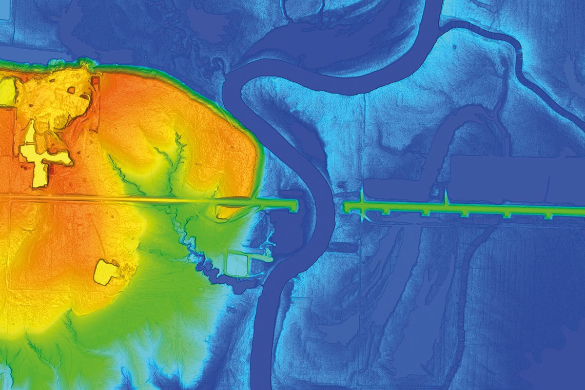
Romania is one of the European countries most at risk of flooding, and climate change is expected to increase both the frequency and magnitude of extreme events. Under this contract, Fugro will provide accurate digital terrain models, digital surface models and orthoimagery over an area of nearly 30,000 km² and will survey around 13,300 cross sections, and 3500 bridges and hydrotechnical infrastructures, within 11 river basin administrations and the Danube river.
Fugro and their local partners will perform a range of surveys, including: airborne lidar and bathymetry of inland rivers and the seashore to create digital terrain and surface models; aerial imagery for high-resolution orthophotography mapping; and topographic surveys of all hydrotechnical and engineering structures that interact with and have influence on selected river flows. The acquired Geo-data will be used for hydraulic modelling and flood hazard mapping by the World Bank to support the implementation of the second and third stage of the second cycle of the EU Floods Directive for the Romanian Ministry of Environment, Waters and Forests and the National Administration “Romanian Waters”(ANAR).
Huug Haasnoot, Fugro’s Director for Land Asset Integrity in Europe and Africa, said: “We are delighted to have been awarded this project by the World Bank. The results of our work will support the development of flood hazard and risk maps that will contribute to Romania’s flood risk management plans and safeguard water security for their people, economy and environment.”
Engineering consultancy HR Wallingford has been enlisted to help with Bulgaria’s flood mapping project. The firm’s mapping techniques have already been implemented on a national scale in Ireland, Moldova and the UK. As the group explains, an automated approach to flood mapping saves time and money, as well as increasing accuracy, because automating the build, gives the group’s modellers more opportunity to fine-tune and enhance the model. Fully-automated post-processing also ensures rapid production of consistent and compliant datasets, which are then used to create the maps. The team will also use aerial images for the first time in this project, with the images being used to plug gaps where there is missing data about land use.
Bulgaria is divided into four River Basin Districts: the Danube; Black Sea; and the East and West Aegean, with each district sharing international borders with neighbours such as Turkey, Greece and Romania. To comply with the Floods Directive, Bulgaria needs to map the flood extents and identify the risks posed to human health, the environment, cultural heritage and economic activity as well as develop measures to reduce their impact. To help achieve this, the World Bank is providing advisory support for the preparation of draft River Basin Management Plans and draft Flood Risk Management Plans, in line with the EU Water Framework Directive and Floods Directive requirements.